Lido Surface Data NEXTView (Terrain)
Highest quality, up-to-date, certified terrain database


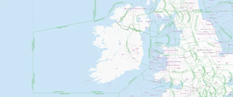
Worldwide terrain data for all your aviation needs
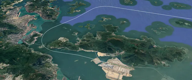
Inaccurate terrain data in aviation can threaten safety. Lido Surface Data NEXTView provides continuously updated, high-quality data, integrating airport databases for precise aerodrome coverage. Developed with Intermap Technologies, it’s the first high-resolution digital elevation model (DEM) for aviation, combining multiple sources to reveal detailed surface features, including islands, buildings, and airport infrastructure, and is EASA Type 1 certified for terrain data.
Precision and accuracy
Highest quality, continually updated terrain data, significantly enhancing accuracy around aerodromes where precision is critical.

Certified and reliable
As the only terrain data product with EASA Type 1 certification, NEXTView ensures top industry standards and regular audits for reliable quality.

Tailored solutions
Specifically designed for aviation, offering customizable options to meet the unique needs of various applications, from terrain awareness systems to drone operations.
Key benefits
Unlock the full potential of your flight operations with tailored, certified terrain data that ensures safety, efficiency, and expert support at every step.

Worldwide coverage
100% inclusion of the Earth’s surface – 150 million square kilometers.

Continuous data updates
Ensures that your systems always operate with the latest terrain data, adapting to changes in the environment.

Certified quality assurance
EASA certification and regular audits ensure that the data meets the highest quality standards.

24/7 expert support
Offers around-the-clock customer support, providing quick and accurate responses, and leveraging decades of industry expertise.
Discover more products

Additional downloads and links
