Lido Sky Data
Highest quality aeronautical navigation data


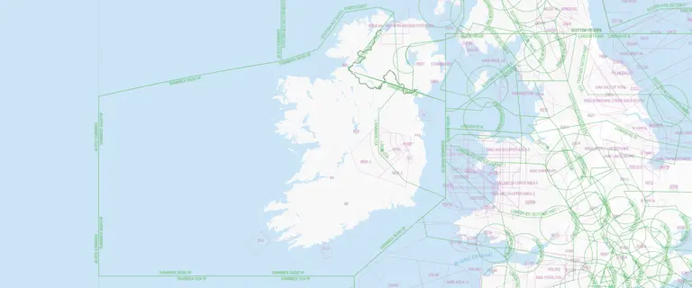
Navigation data for over 35,000 aerodromes worldwide
In today’s digital landscape, reliable data is key to leveraging disruptive technologies. Lido Sky Data provides precise navigation data for aviation, from flight simulator environments to drone navigation solutions. Trusted in the industry for over 20 years, it helps automate and digitalize labor-intensive, error-prone manual processes, enhancing efficiency, safety, and innovation across all air transport applications.

Extensive aerodrome coverage
High-quality, comprehensive navigation data with global coverage, including over 35,000 aerodromes, supporting aviation, flight simulation, and drone navigation for reliable, efficient operations.

Versatile applications
The data supports a wide array of applications, from flight planning and route analysis to advanced air mobility and drone navigation, making it adaptable to various aviation and air transport solutions.

Industry standard compliance
The data adheres to industry standards like ARINC 424, RTCA DO-200, and DO-201, and is updated every 28 days according to the AIRAC cycle, ensuring it remains current and reliable for all users.
Key benefits
Streamline aeronautical operations with accurate, certified navigation data that reduces errors, supports automation, and ensures global consistency.

Supports automation & digitalization
The data aids in automating and digitalizing labor-intensive and error-prone manual processes, enhancing efficiency and reducing the risk of human error in aeronautical operations.

High quality certified data
Derived from the EASA-certified Lido FMS, the data maintains the highest standards of quality, ensuring reliability and accuracy in various critical aviation applications.

Consistent and reliable
Lido Sky Data offers consistent, standardized navigation information across the globe, providing a reliable foundation for both manned and unmanned aircraft operations.

Flexible export formats
With support for multiple file formats and a comprehensive data catalog, the solution can be fully tailored to fit specific systems and applications, ensuring seamless integration and usability.
Discover more products
Additional downloads and links
