Lido Surface Data Obstacles
Standardized database of more than 5 million obstacles worldwide


Improve air navigation safety with our obstruction data
Increase operational safety with our certified obstacle data, featuring over 5 million global obstacles with 60+ attributes for precise analysis.
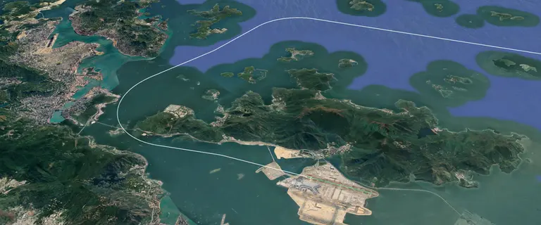
Lido Surface Data Obstacles covers enroute and aerodrome obstacles—towers, antennas, cranes, and natural features.
Available as points, lines, and polygons, it provides true geometry of critical obstacles like transmission lines and cable cars, enhancing safety for low-altitude operations.

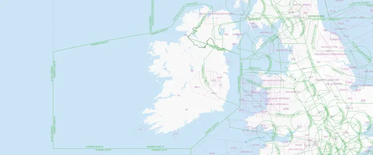
Global coverage
The database contains over 5 million obstacles worldwide, each with more than 60 detailed attributes, ensuring comprehensive coverage and high accuracy for diverse navigation and operational needs.

Extracted from authoritative sources
Obstacles are sourced from reliable, official state publications like AIPs, eTOD, and NOTAMs, ensuring high-quality, accurate data essential for safe flight operations.

Versatility in application and export formats
The data can be exported in various formats and used in multiple systems and applications, making the database suitable for a broad range of use cases.
Key benefits
Up-to-date, certified obstacle data with rich metadata and a flexible structure, ensuring reliable use across diverse aviation and operational applications.

Up-to-date information
The database is updated every AIRAC cycle, ensuring that users always have access to the most current obstacle information, which is vital for safe and efficient navigation.

High data quality & metadata
Each obstacle is described with more than 60 attributes, providing detailed metadata that enhances the accuracy and reliability of the data for various applications.

Certified quality assurance
EASA certification and regular audits ensure that the data meets the highest quality standards.

Flexible data for diverse applications
Database structure and flexible data filtering allow for its use in a wide variety of systems and applications, from terrain awareness systems to drone operations, accommodating diverse operational needs.
Use cases
- Terrain awareness and enhanced ground proximity warning systems (TAWS, EGPWS)
- Synthetic / enhanced vision systems (SVS, EVS)
- Aeronautical charting
- Performance calculations
- Flight planning
- Drone operations and drone planning
- Procedure design
Discover more products

Additional downloads and links
